Zone of the access road landslide
Description
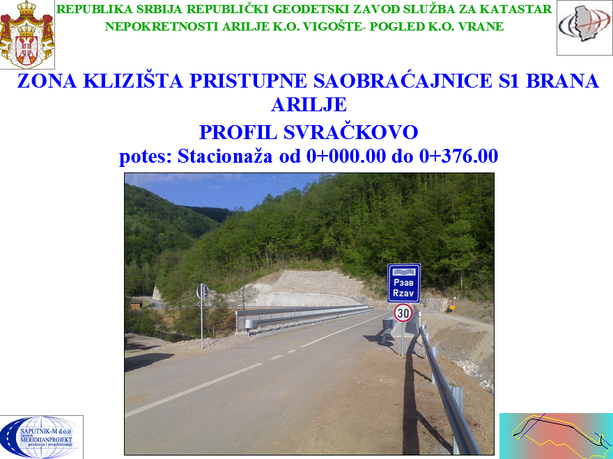
ZONE OF THE ACCESS ROAD LANDSLIDE
For the purpose of the landslide rehabilitation design, in the zone of the road S1, Arilje dam (section Svračkovo, chainage from km 0+000.00 to 0+376.00), surveying was carried out in order to prepare geodetic documentation, digital map and a digital terrain model. As a basis, existing polygon points were used. The location was surveyed by using the polar method, with the robotic total station Leica TCRP 1103 Plus.
Info