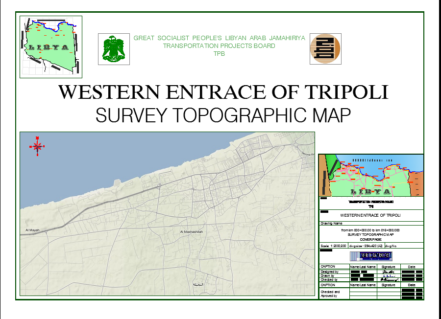
Western entrace of Tripoli
Description
WESTERN ENTRACE OF TRIPOLI
For the purpose of the traffic connection of the western territory of Tripoli with the coastal road, a multi-lane road with auxiliary roads on both sides for the functioning of local settlements was planned. The total length of the section was 16 km, from the gyratory junction in Zanzur to the bridge no. 27. For designing purposes, geodetic surveying was carried out in order to unify the results on site and in the cadastre of utilities and underground installations. Also, surveying results were used to create the digital terrain model (DTM), an authentic terrain configuration layout. Prior to the commencement of the land surveying, it was necessary to prepare precise survey network, which would, later on, be used for geodetic works while carrying out construction works. Survey network was stabilized with visible concrete monuments and for every point a description of the position was done, in order to make it easier to be found on the field. Coordinates (X, Y) were determined with GPS method – Statics, with known trigonometric points. Elevations were measured by using digital level from known benchmarks. The location was surveyed by using GPS method Real Time Kinematic (RTK). Geodetic documentation was prepared, where all measured and calculated data was presented.
Info